


• About
    • Mission / Vision Statement
    • Governance / Board of Directors
    • Board Meeting Packages
    • Area of Jurisdiction
    • Publications/Forms
    • Events
    • Tender Documents
    • Employment Opportunities
    • Accessibility
    • News & Blog
    • SCRCA Staff Directory
    • Service Disruptions
    • Contact Us
  • Permits & Planning
    • Introduction
    • Property Inquiry
    • Map Your Property
    • Regulations Permits
    • Drainage Act Project Review
    • Plan Input and Review
    • Policies and Guidelines
    • Fee Schedule
  • Water Management
    • Flood Notices
    • Flood Notice Types
    • W. Darcy McKeough Floodway
    • Low Water Response
    • Riverbank & Shoreline Protection Development
    • Erosion Control Projects
    • Great Lakes and Connecting Channels
  • Watershed Services
    • Tree Planting / Woodlot Services
    • Environmental Monitoring
    • Habitat Restoration Projects
    • Grants for Landowners
    • Invasive Species
  • Conservation Lands
  • Education
  • Foundation
    • About the SCRCF
    • Donate to our Foundation
    • Planned Giving
    • Memorial Forests
    • Sponsors
    • Land Donations
    • Scholarships
    • Green Meetings
  • Contact Us
St. Clair Region Conservation AuthoritySt. Clair Region Conservation Authority
Flood Status NORMALLow Water Status Level 1
  • About
    • Mission / Vision Statement
    • Governance / Board of Directors
    • Board Meeting Packages
    • Area of Jurisdiction
    • Publications/Forms
    • Events
    • Tender Documents
    • Employment Opportunities
    • Accessibility
    • News & Blog
    • SCRCA Staff Directory
    • Service Disruptions
    • Contact Us
  • Permits & Planning
    • Introduction
    • Property Inquiry
    • Map Your Property
    • Regulations Permits
    • Drainage Act Project Review
    • Plan Input and Review
    • Policies and Guidelines
    • Fee Schedule
  • Water Management
    • Flood Notices
    • Flood Notice Types
    • W. Darcy McKeough Floodway
    • Low Water Response
    • Riverbank & Shoreline Protection Development
    • Erosion Control Projects
    • Great Lakes and Connecting Channels
  • Watershed Services
    • Tree Planting / Woodlot Services
    • Environmental Monitoring
    • Habitat Restoration Projects
    • Grants for Landowners
    • Invasive Species
  • Conservation Lands
  • Education
  • Foundation
    • About the SCRCF
    • Donate to our Foundation
    • Planned Giving
    • Memorial Forests
    • Sponsors
    • Land Donations
    • Scholarships
    • Green Meetings
  • Contact Us

Conservation Lands

Home Conservation Lands
Reserve a Campsite
Visitor Safety
Day Use Regulations
Fees
Hunting & Trapping Permits

Our Day Use Conservation Area Hours

Sunrise to Sunset


PLEASE NOTE: Vehicular access to the SCRCA’s three regional campgrounds (A.W. Campbell Conservation Area, Lorne C. Henderson Conservation Area and Warwick Conservation Area) is restricted during the winter season (November – May) and washroom facilities are closed.

Reservations for the 2026 camping season will open online on Monday, January 12th, 2026, at 8:30 am.

  • All 0
  • Admission Fee 0
  • Camping 0
  • Cycling 0
  • Dog Walking 0
  • Equipment Rentals 0
  • Fishing 0
  • Hiking 0
  • Lake/River/Reservoir 0
  • Picnic Facilities 0
  • Swimming/Watersports 0
  • Sports Fields 0
  • No Admin Fee 0
  • Education/Interpretive 0
  • Geocaching 0
  • Boating/Sailing/Paddling 0
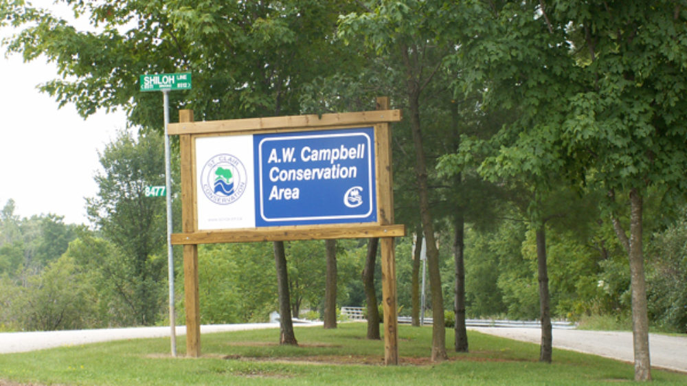
Gallery_AWC_RoadSign.jpg

A.W. Campbell Conservation Area

A.W. Campbell Conservation Area is a family-oriented campground with 140 sites including overnight, seasonal, and group camping.  Amenities on the…
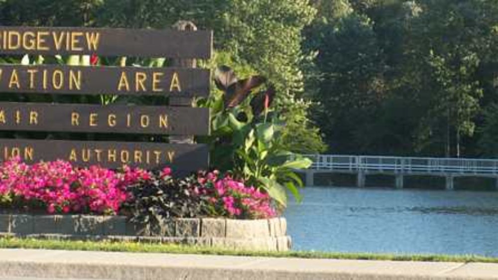
Header Bridgeview

Bridgeview Conservation Area

The Petrolia Trails offer approximately 6 km of trail that wind through the north side of the Bridgeview Conservation Area.…
Header Clark Wright

Clark Wright Conservation Area

This 50 acre site, donated by Mr. Clark Wright, includes 3 km of nature trails through recently reforested lands and…
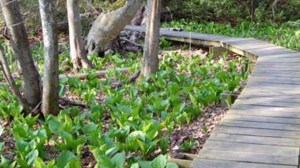
Header Coldstream

Coldstream Conservation Area

The Coldstream Conservation Area has two trails - the trail in the south end of the Conservation Area takes you…
Header Crothers

Crothers Conservation Area

Crothers Conservation Area along the route of the Wallaceburg Water Trail linking Wilkesport, Dresden and Mitchell Bay to Wallaceburg and…
Header Esli Dodge

Esli Dodge Conservation Area

Address: 88 Main Street South
mclean wetland

Keith McLean Conservation Lands

The Keith McLean Conservation Lands were officially opened on June 27, 2013. The 130-hectare (321 acre) property is famous for…
LCHF Masy 2013 (5) 2

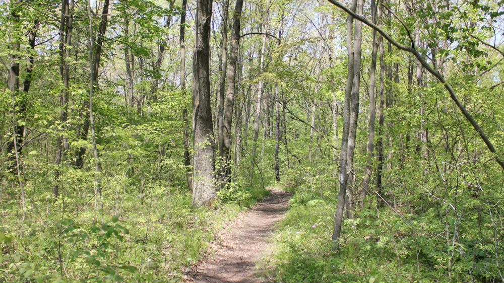
Lambton County Heritage Forest

A beautiful system of hiking trails that wind through Oak Savannah and Carolinian Forest. Take it easy on the Tulip…
Header LCH

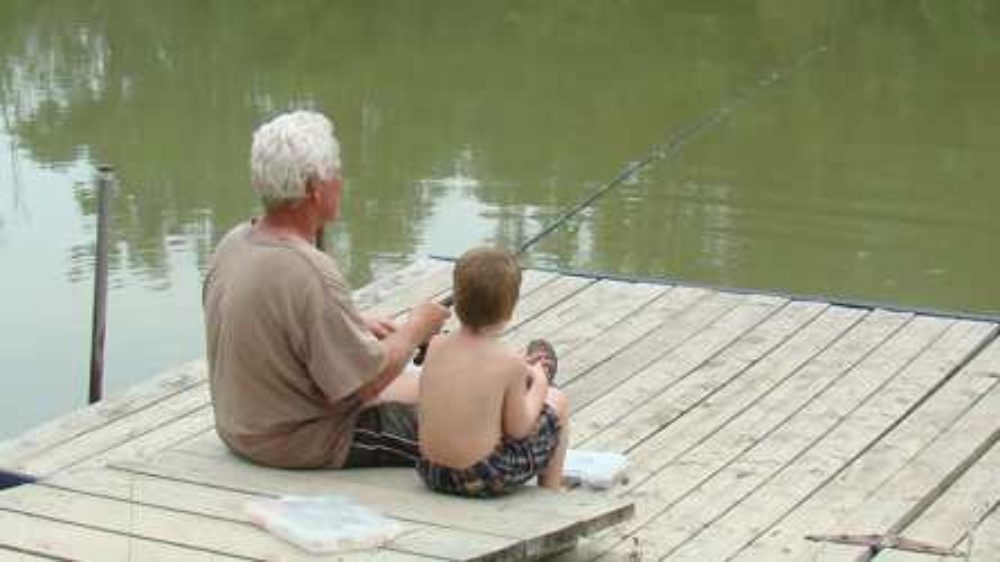
Lorne C. Henderson Conservation Area

Lorne C. Henderson Conservation Area is a nature lover’s delight. This family-oriented campground is nestled among a series of wildlife…
Header Marthaville

Marthaville Habitat Management Area

The Marthaville Habitat Management Area is owned by the County of Lambton and managed by the Conservation Authority. This demonstrations…
Header Moore

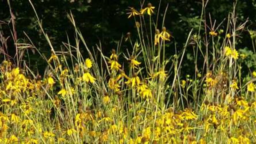
Moore Habitat Management Area

The Moore Habitat Management Area includes an experimental tallgrass prairie site, floodplain forest, upland forest, and open/shrub areas. This area…
Header Nichols mem forest

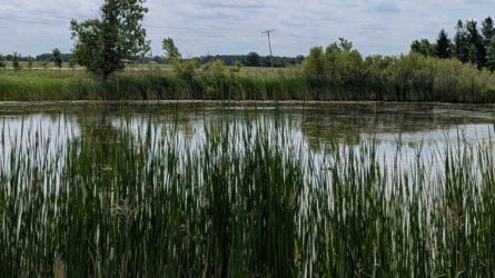
Nicholls Memorial Forest

The Nicholls Memorial Forest is located north of Wallaceburg on the west side of Kimball Road, between Wilkesport and Bentpath…
peers wetland

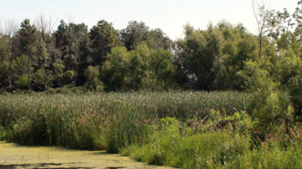
Peers Wetland

The Peers Wetland is the only sizeable wetland - around 11 hectares - that remains along the lower reaches of…
Header Perch Creek

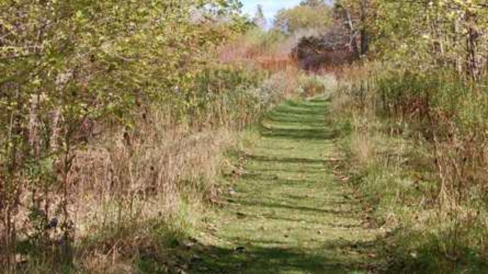
Perch Creek Habitat Management Area

The Perch Creek Habitat Management Area is owned by the County of Lambton and managed by the Conservation Authority. This…
Header Shetland

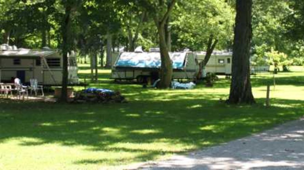
Shetland Conservation Area

This beautiful park, located along the shores of the Sydenham River, features an intimate setting with only 15 serviced sites…
Header Strathroy

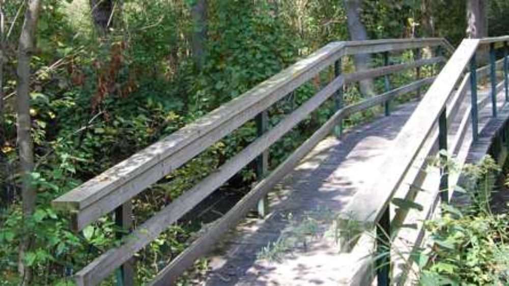
Strathroy Conservation Area

This Conservation Area, located right within the Town of Strathroy, includes a 3 km trail through a beautiful floodplain forest.…
Darcy McKeough Floodway

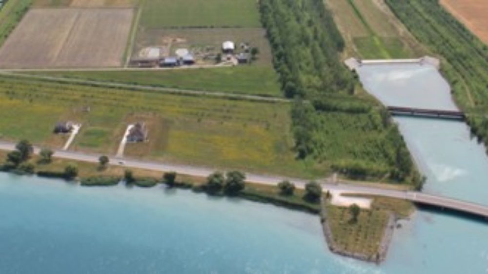
W. Darcy McKeough Floodway

This wildlife corridor has been planted with 100,000 trees over the last ten years. The grass channel and treed berms…
Header Warwick

Warwick Conservation Area

Warwick Conservation Area is a family-oriented campground with 230 serviced sites.  This 73 hectare (180 acre) Conservation Area offers both…
Header Wawanosh

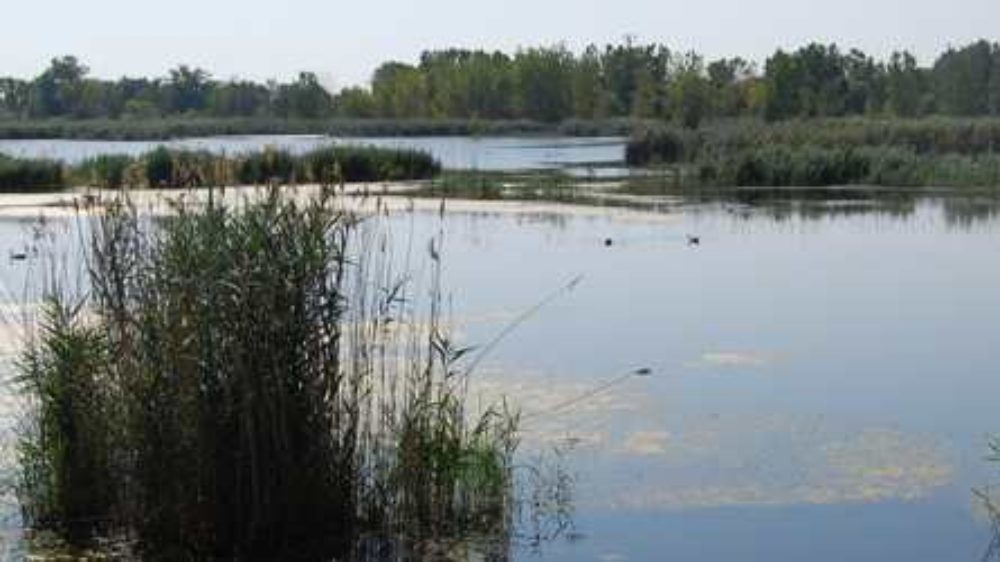
Wawanosh Wetland Conservation Area

The 3.5 km nature trail winds along a provincially significant marsh and includes several opportunities to get close to the…

About Us

The St. Clair Region Conservation Authority is located in southwestern Ontario and includes the Sydenham River watershed and smaller watersheds draining directly into southern Lake Huron, the St. Clair River, and northeastern Lake St. Clair.

The Conservation Authority implements programs to reduce the risk to life and property from flooding and erosion; water and land stewardship; forestry; wildlife habitat creation and outdoor recreation.

Partner Links

  • Conservation Ontario
  • Thames-Sydenham & Region Source Protection Area
  • Healthy Lake Huron
  • Sydenham River Website
  • Friends of the St. Clair River
  • Forest Gene Conservation Association
  • Lake St. Clair Canadian Watershed Management Plan
  • Ontario Trillium Foundation

Connect with us!

  • St. Clair Region Conservation Authority
  • 205 Mill Pond Cres., Strathroy ON N7G3P9
  • 519-245-3710
  • 519-245-3348
  • stclair@scrca.on.ca

© 2026 · St. Clair Region Conservation Authority

  • Home
  • Accessibility
  • Privacy
  • Director Access
  • Foundation Access
  • WM