-
- Southwesterly winds gusting between 45 km/h and 60 km/h over Lake St. Clair
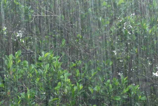
- 50 mm of rainfall received across the region, some regions experiencing more
- Water levels rising, minor flooding
- Additional rainfall over the next week
More rainfall is expected in the coming days, however amounts are predicted to be between 5 mm and 15 mm per day. The forecast is calling for thunderstorms, which may bring high intensity rainfall and increased amounts in some areas.
Water levels across the region are rising and minor flooding into natural floodplains and low-lying areas is likely. Additional rain in the coming days will assist to keep water level elevated.
Winds will be from a southwesterly direction through the weekend with gusts between 45 km/h and 60 km/h. Strong winds from this direction have the potential for slowing the flow out of the Sydenham River and elevating water levels in the area of Wallaceburg.
Residents are reminded to avoid shorelines, watercourses and flooded areas due to dangerous conditions, slippery banks and cold, swift moving water. Children and pets should be kept away from the water.
The Conservation Authority continues to monitor watershed conditions and will issue advisories to municipalities and media should flood issues arise.
Municipal emergency response staff and road superintendents should monitor local conditions closely.
This message will remain in effect until Monday, June 28, 2021, unless otherwise updated.