Highlights:
- 75 – 95 mm of precipitation forecasted over the next 72 hours
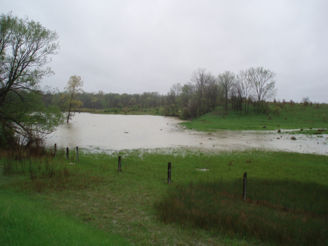
- Water levels expected to rise
- Fast flowing water and slippery stream banks
- Potential road closures
The precipitation forecast for today, tomorrow and Sunday calls for total accumulations between 75 mm and 95 mm. Water levels are expected to rise with the potential for localized flooding in floodplain areas, parks and farm fields throughout the region. Water levels are anticipated to remain high early next week as the water makes its way through the rivers.
Freezing rain is forecast to start Saturday evening through Sunday. River banks are expected to be slippery, minor erosion is expected to happen. Saturated soil conditions across the watershed. Residents are reminded to avoid watercourses and flooded areas due to slippery banks and cold, swift moving water. Children and pets should be kept away from the water.
The Conservation Authority continues to monitor watershed conditions and will issue advisories to municipalities and media should flood issues arise.
Municipal emergency response staff and road superintendents should monitor local conditions closely.
This message will remain in effect until Sunday, April 15, 2018 unless otherwise updated.