Highlights:
- Water levels slowly falling
- Localized flooding along some of the smaller watercourses in the region
- Slippery stream banks
- Road closures
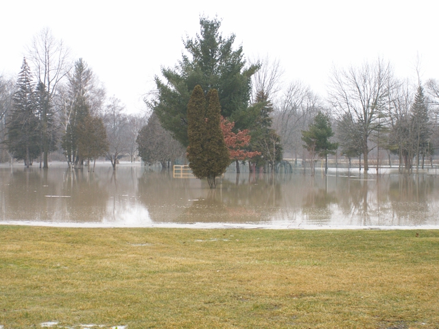
The slow movement of several low pressure systems over the weekend has resulted in 50 – 70 mm of rainfall across most of the watershed. Water levels remain extremely high resulting in over-bank flooding into floodplain areas. Water levels have peaked all across the watershed and falling steadily.
With no additional precipitation in the forecast, water levels will continue to fall across the watershed. However, Localized flooding is occurring at low lying areas, mostly in floodplain, agricultural and parkland areas. All watercourses in the watershed are expected to be near or over top of bank conditions today. Water levels across the watershed (Alvinston, Florence, Dresden on the east branch, Petrolia and Brigden on the north branch of Sydenham River) are expected to return back to normal levels by Friday morning.
Roads that were identified as closed earlier this week will continue to be impacted by high water levels.
Municipal emergency response staff and road superintendents should monitor local conditions closely.
Residents are reminded to avoid watercourses and flooded areas due to slippery banks, cold and swift moving water as well as extensive debris moving downstream within the watercourses. Parents in particular are urged to keep their children away from floodplain areas.
The St. Clair Region Conservation Authority will monitor the flood condition of the watersheds in the region and will provide warnings to municipal officials and media in the event conditions develop which could result in the potential of flooding.
This message will remain in effect until Thursday, April 19, 2018 unless otherwise updated.